Weeds team visit Cook Islands for natural enemies progress update
Todays article comes from the Manaaki Whenua Land Care Research team that have being doing work her over the past few weeks
There was a satisfied sigh across Rarotonga recently. Two recent visits to the Pacific island showed researchers from New Zealand’s Manaaki Whenua– Landcare Research (MW) that the natural enemies introduced over the past few years to attack various weeds, including the African tulip tree (ATT), were working. The MW team was in the Cook Islands to carry out post-release monitoring of several natural enemies busy munching their way through some of the unwanted weed species on the island.
As part of this work, the New Zealand teams sampled for two natural enemies of the ATT that have been released over the past few years at various sites across the island. These included the Avatiu Valley and the Takitumu Conservation Area (TCA), where researchers looked for signs that the leaf-mining flea-beetle (Paradibolia coerulea) had established, and the gall-forming mite (Colomerus spathodeae), which is already well established.
ATT (Spathodea campanulata) is a destructive alien invasive tree that is widespread throughout the Pacific region and considered one of the 100 worst alien invasive species in the world.
During the monitoring visit, researchers used a drone with a claw and a cutting blade to sample from the top of taller ATT. This is because while gall mite damage is easy to spot, it’s difficult to see beetle damage up in the canopy. The beetles were first released in 2021 with several more releases last year and it was suspected the beetles may be more active in the canopy too.
MW senior technician Paul Peterson was able to verify, “the mites are present on the trees at all of the sites checked whereas the beetle populations are still at low levels. The good news is that they have established, but it might be a few more years before their feeding damage can be reliably seen.”
During the first of the two trips in July, Alana den Breeyen, Temo Taile and Stephanie Morton also worked with the National Environment Service (NES) to collect Red Postman Heliconius butterfly samples.
During their visit, Kelvin Passfield from Te Ipukarea Society, Stephanie and Alana, and Mike Bowie from Ministry of Agriculture, Rarotonga, even climbed up the Tereora Hill Track to see if they could find any non-target impacts of balloon vine rust fungus including those on the closest plant relatives to balloon vine in Rarotonga, Dodonaea viscosa and Allophyllus timoriensis,.
Researchers have given these potential non-target plants a clean bill of health.
The balloon vine rust fungus, Puccinia arechavaletae, was released on Rarotonga in December 2017, and within six months there had been a 90% decrease in balloon vine cover at specific areas. Within two years after the releases, the total percentage cover of the vines at the 20 release sites declined from over 75% cover to under 30%.
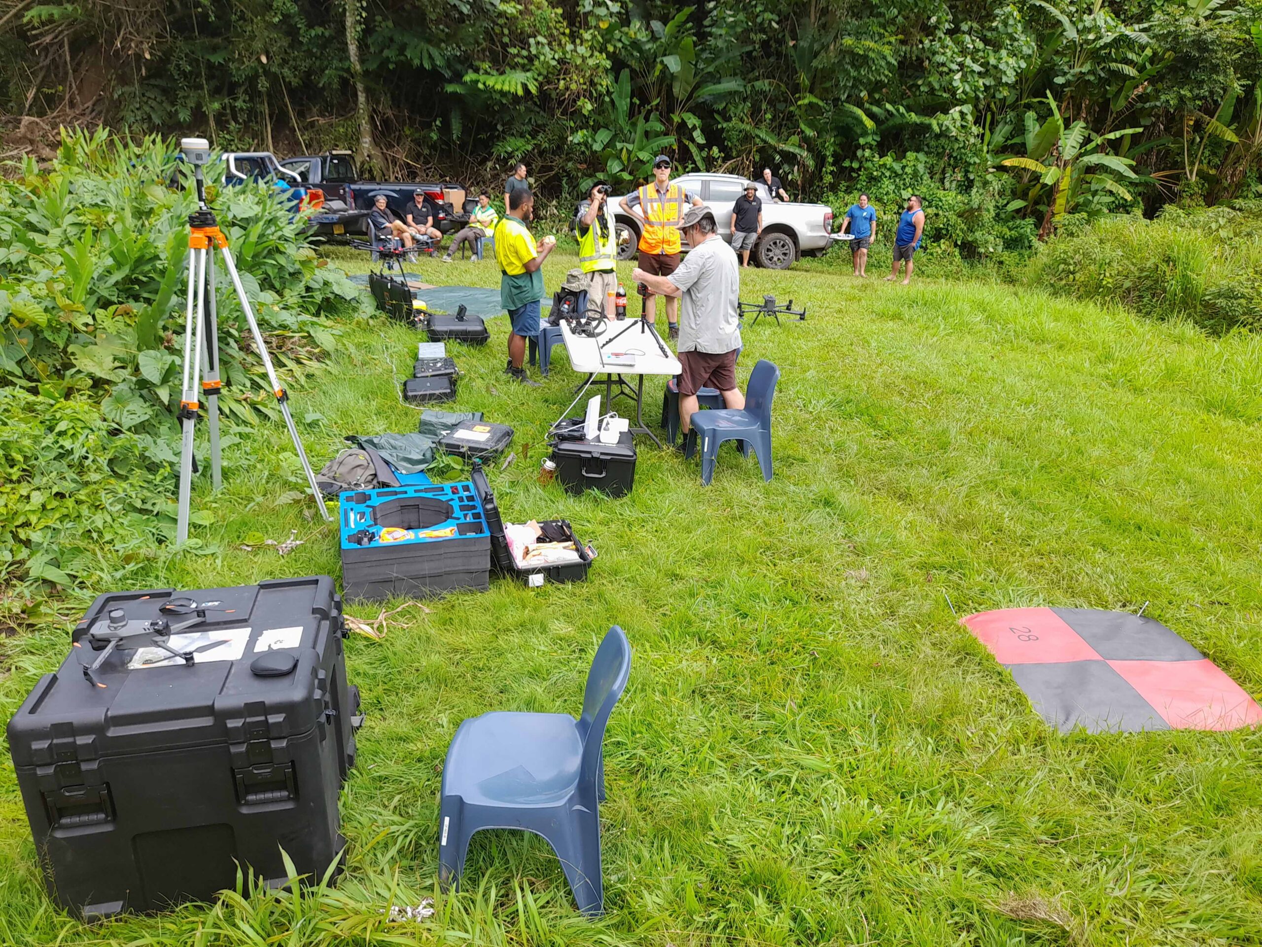
On the second trip in August, Paul Peterson, Andrew McMillan and Ben Jolly used various drones to see if using remote sensing technology works to monitor impacts of the beetle and mites. Paul and his team were accompanied by Salmen Chand from Droneworks Consultancy, and Waisale Rakusanavanuya from the University of the South Pacific to help fly the drones. “One of the aims of this work is to pass on knowledge and empower local workers to do their own monitoring and assessment, although I think we learnt as much off Salmen and Waisale as they did from us,” says Paul.
Staff from NES, Te Ipukarea Society, the Ministry of Agriculture, Infrastructure Cook Islands and the New Zealand High Commission also accompanied the drone team in the field.
“This is an experimental project looking at different methods to map invasive weeds and the impact of natural enemies,” says Paul. The project trialling the use of satellite imagery (50 cm resolution), imagery from an airplane (10 cm resolution) and drone close up imagery (less than 4 cm resolution).
As well as using normal photography, the team also collected multi/hyperspectral imagery (to capture light reflected that can’t be seen by the naked eye) and LiDAR. It is likely that a combination of these methods will be used to produce the weed distribution maps for future impact assessment studies.
The spread of ATT is starting to accelerate on Rarotonga and by mapping its distribution it’s hoped researchers will be able to get a baseline from which they can monitor and evaluate future impacts of natural enemies.
The teams were in the country as part of the Managing Invasive Species for Climate Change Adaptation in the Pacific (MISCCAP) Programme.

